
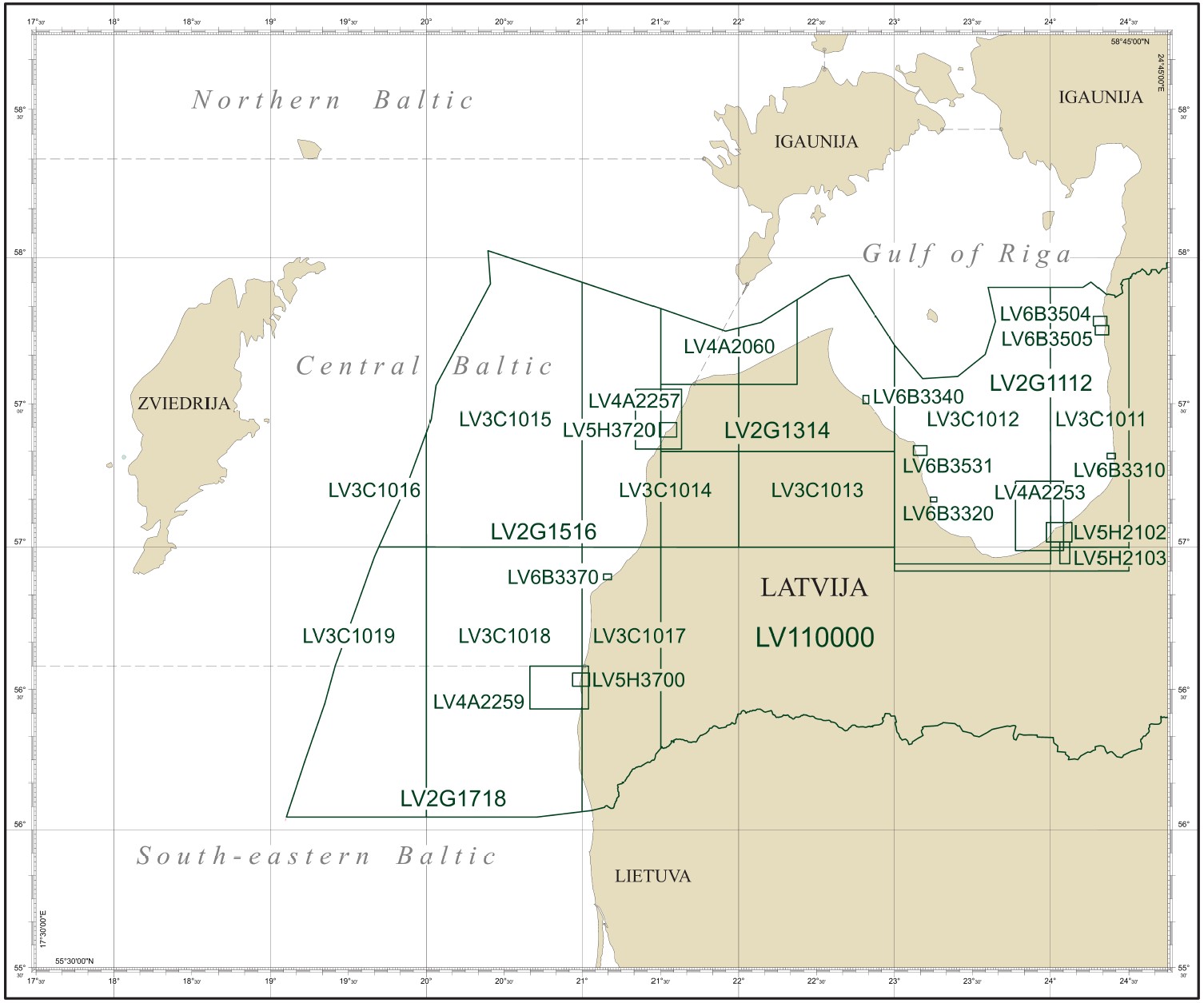
The Maritime Administration of Latvia develops official vector electronic navigational charts (ENC) covering all waters of the Republic of Latvia. The ENC issued by the Maritime Administration of Latvia are produced in the S-57 format (*.000) for use in ECDIS (Electronic Chart Display and Information System) in accordance with international IMO and IHO requirements.
The issued ENC are regularly updated, including temporary (T) and preliminary (P) notices in the updates.
ENCs are available for purchase upon signing a contract with the Maritime Administration of Latvia
PRIMAR
info@primar.org
C-MAP
GARMIN
NAVIONICS
SEAPILOT
ChartWorld
ORCA Tehnologies AS
savvy navvy
o-charts