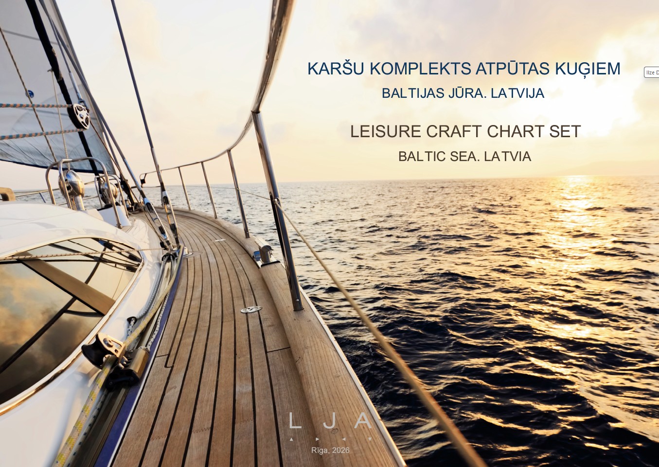
Leisure Craft Chart Set. Baltic Sea. Latvia, 2026, spiral-bound edition is in ISO A3 format, stored in a transparent, waterproof A2 case. The set of charts is intended for the navigation of leisure craft in the Baltic Sea, along the Latvian coast, and in Latvia’s waters. The set includes 45 nautical charts at scales ranging from 1 : 250 000 to 1 : 3 000. It covers all Latvian ports, as well as Ruhnu Harbour (Estonia) and Klaipėda Port (Lithuania). The nautical charts are in the WGS84 Mercator projection. Depths and heights are given in meters referred to the Mean Sea Level in Baltic Sea Chart Datum BSCD 2000 (LAS-2000,5).
No separate notices to mariners will be promulgated for this chart set. Users are advised to follow the latest navigation information in the monthly issue Notices to Mariners, which is published by the Maritime Administration of Latvia, for free on the website www.lja.lv.
Leisure Craft Chart Set. Baltic Sea. Latvia, 2026 can be purchased from the
Maritime Administration of Latvia’s e-shop
The charts may be used as a navigational aid alongside current navigational notices and other navigational information.